




Welcome To Luas Finglas
Luas Finglas is the next extension of the Luas Green Line, running from Broombridge to Charlestown through Tolka Valley and Finglas village.
30th October 2025: TII today welcomed the grant of a Railway Order (planning permission) by An Coimisiún Pleanála for Luas Finglas.
TII Chief Executive Officer Lorcan O’Connor thanked An Coimisiún Pleanála for the timely decision. He said “A lot of hard work went into developing this major public transport project. TII has a strong record in delivering light rail projects on time, within budget and with passenger numbers far exceeding projections.”
The Luas Finglas team at TII will review the Railway Order in detail and then provide an update on timeline for the next steps.
If you have any questions or queries, email us at info@luasfinglas.ie and the project team will respond to you shortly.

What is Luas Finglas?
Luas Finglas is the next extension of the Luas Green Line. It will create a new public transport connection between the communities of Charlestown, Finglas Village, Finglas west, St Helena’s, Tolka Valley and the city centre.
The proposed route is 3.9km in length and will include four new stops: St Helena’s, Finglas Village, St Margaret’s and Charlestown. A 350-vehicle park and ride facility will be provided near the St Margaret’s Road stop, close to the M50.
The route will provide interchange opportunities with bus networks at all the new stops and with mainline rail services at Broombridge.
Most of the route will be built using grass track, an attractive and sustainable innovation for urban transport in Ireland.
Luas Finglas will be comparable to the higher speed sections of the Luas network. At present, journey times from Charlestown to Trinity College in the city centre take approximately 44 minutes during the morning rush hour. Luas Finglas will reduce this to approximately 30 minutes.

Luas Finglas Benefits

High quality public transport like Luas will support the development of Finglas, ensuring that its growth is sustainable and meets the needs of current and future residents.
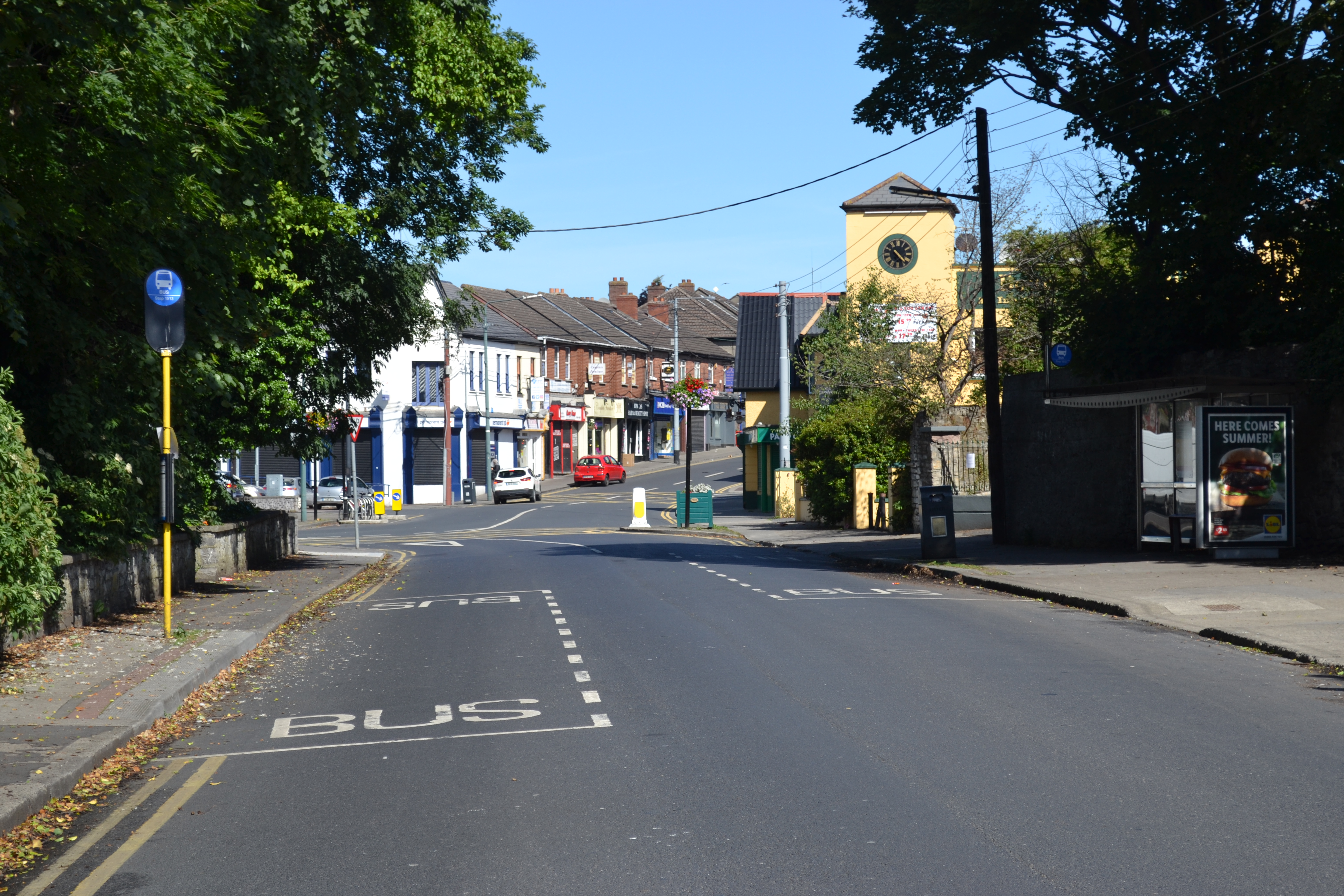
Luas Finglas will use a mostly off-street, high-priority corridor, delivering consistent journey times throughout the day, even at rush hour.

The transport sector has been the fastest growing source of Ireland’s greenhouse gas emissions. By replacing thousands of car journeys and vehicle kilometres, Luas Finglas, will contribute to reducing Ireland’s transport carbon output.

Walking and cycling integration
One of the most exciting aspects of Luas Finglas is the opportunity to build safe, segregated pedestrian paths along much of the route and deliver cycling infrastructure in line with the Greater Dublin Area Cycling Strategy by the NTA.
This will provide integration between the scheme and the surrounding areas. Each of the Luas stops will include cycle parking facilities. You can find the plan here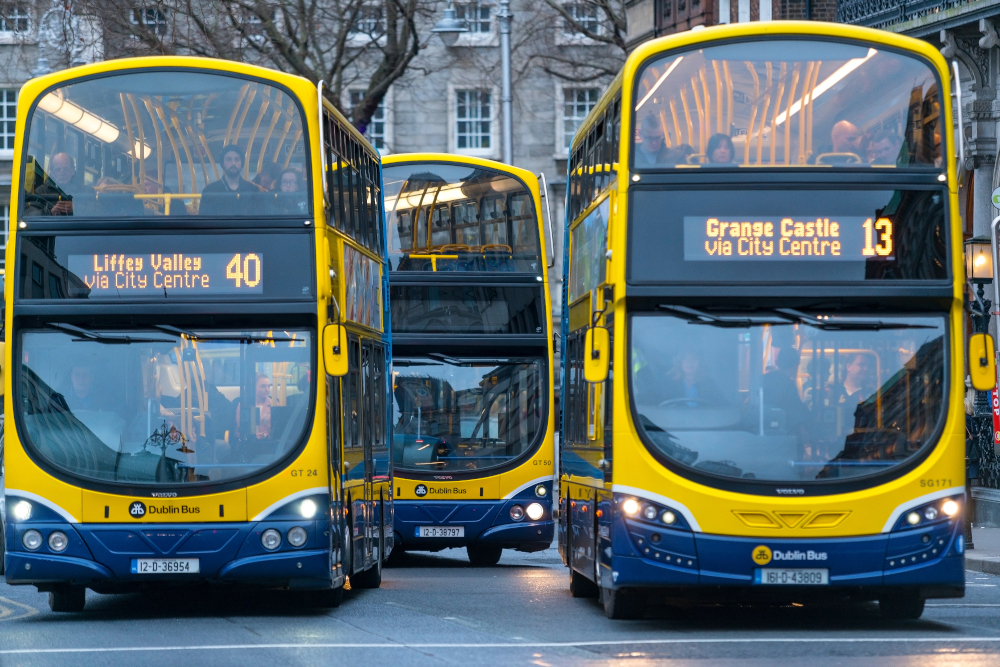
Luas Finglas will connect with several existing public transport services including national, regional and commuter rail, Luas and bus services.
The Park and Ride facility will allow people to switch from their cars onto the Luas network. At Broombridge, where the railway station and Luas stops are located, passengers can change to the Maynooth and Docklands rail services, including future DART services. Luas Finglas is complementary to BusConnects and switching to the bus network will be possible at all new Luas stops and in the city centre.
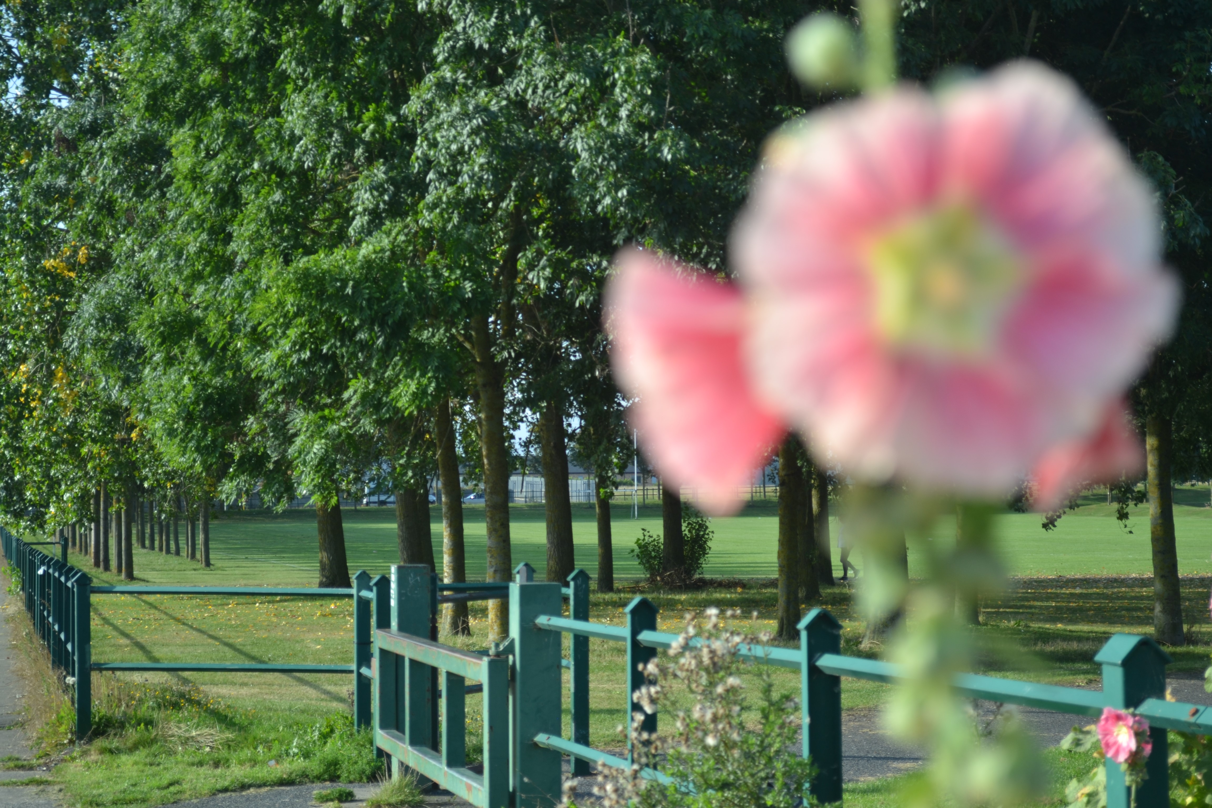
At all stages of design and construction, we will minimise the impact on local ecology and wildlife, with particularly sensitive treatment in the wetlands of Tolka Valley Park.
The route has been designed to retain as many existing trees as possible. We have developed an extensive landscape strategy that proposes to replant many more trees than have been removed.
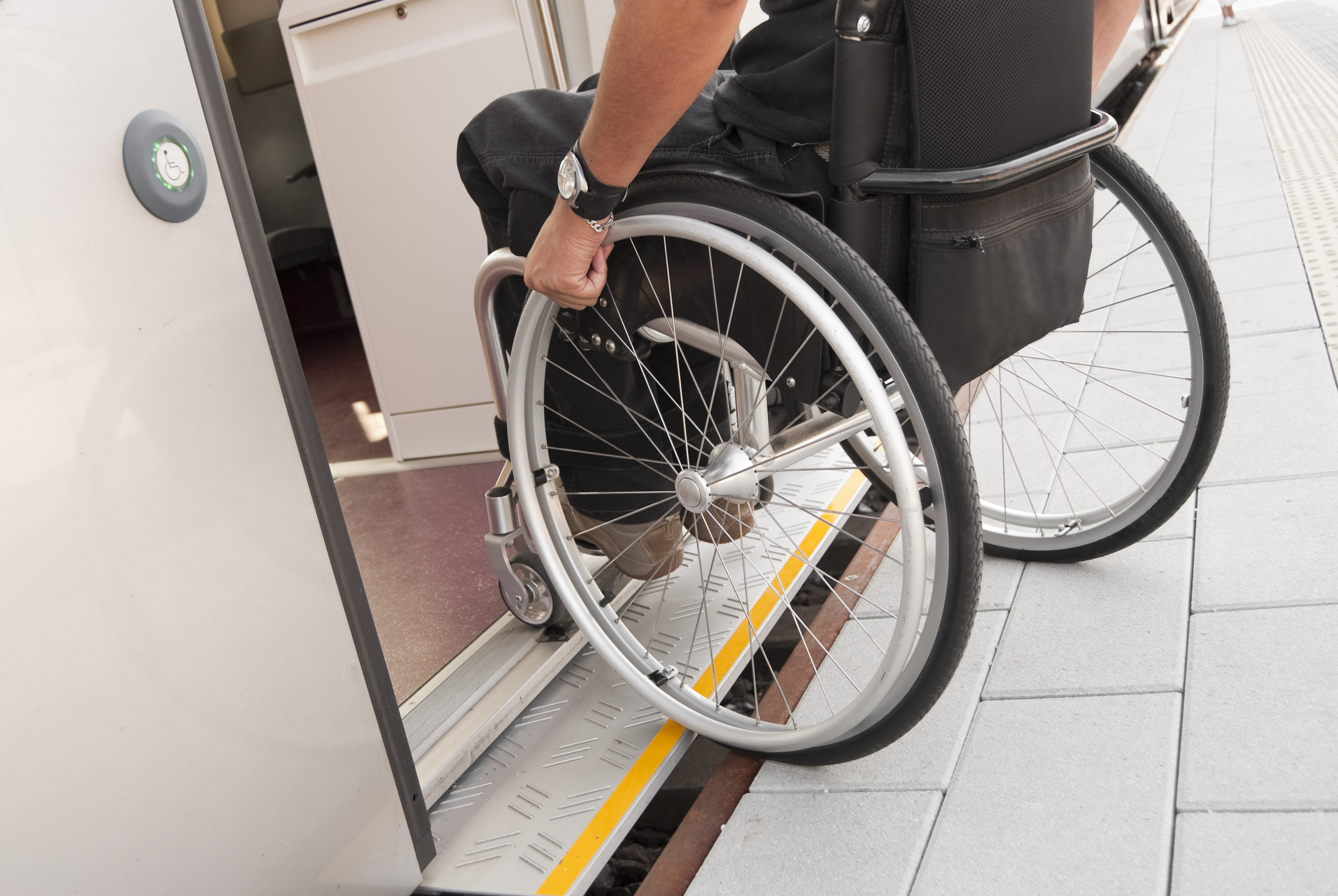
Luas Finglas will contain all of the accessibility features associated with Luas and will be fully accessible to people with a mobility impairment – wheelchair and pushchair users, the elderly – as well as to those with a hearing or visual impairment.

Key Facts

Luas Finglas Route

Detailed maps can be found on the Railway Order site here
The Luas Finglas route is approximately 4km long with four stops. The proposed new stops are at:
- St Helena’s
- Finglas Village
- St Margaret’s Road
- Charlestown
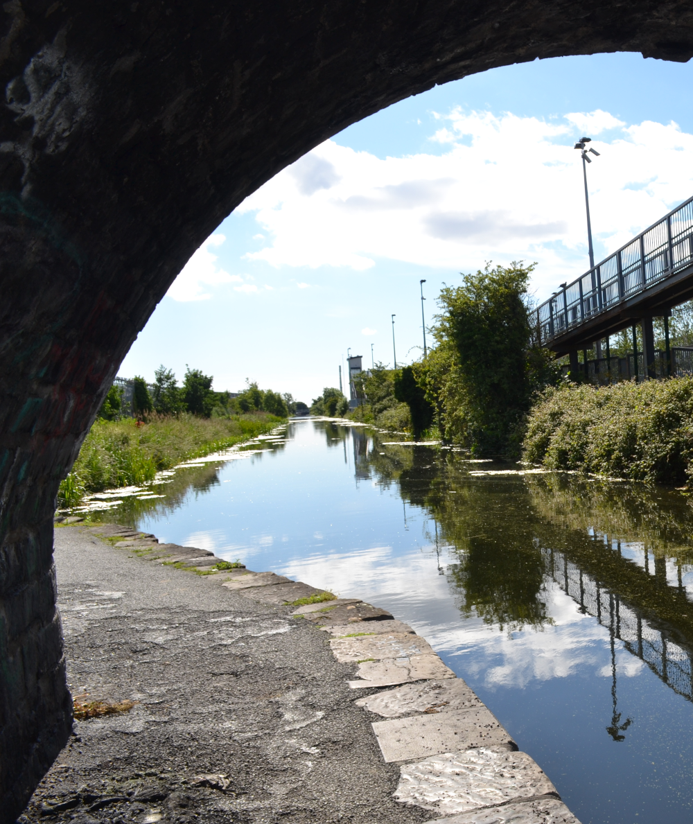
The proposed route, approximately 70% of which will be in grass track, begins at the existing Broombridge Luas stop and travels north crossing the Royal Canal and Maynooth rail line over a new bridge.
From there, the line proceeds north to Ballyboggan Road alongside the Dublin Industrial Estate.
A number of stakeholders expressed a strong demand for improved walking and cycling facilities along Broombridge Road with good linkages to the Royal Canal Greenway and Tolka Valley Park. In response, the alignment was shifted slightly west from the original proposal in the EPR.
After crossing Ballyboggan Road (via a new signalised junction), the rail line enters Tolka Valley Park, adjacent to the old bridge – a protected structure - and proceeds north across the park as far as Tolka Valley Road. Finglas Wood Bridge will be fully preserved.
The line will cross the Tolka River on a new bridge.

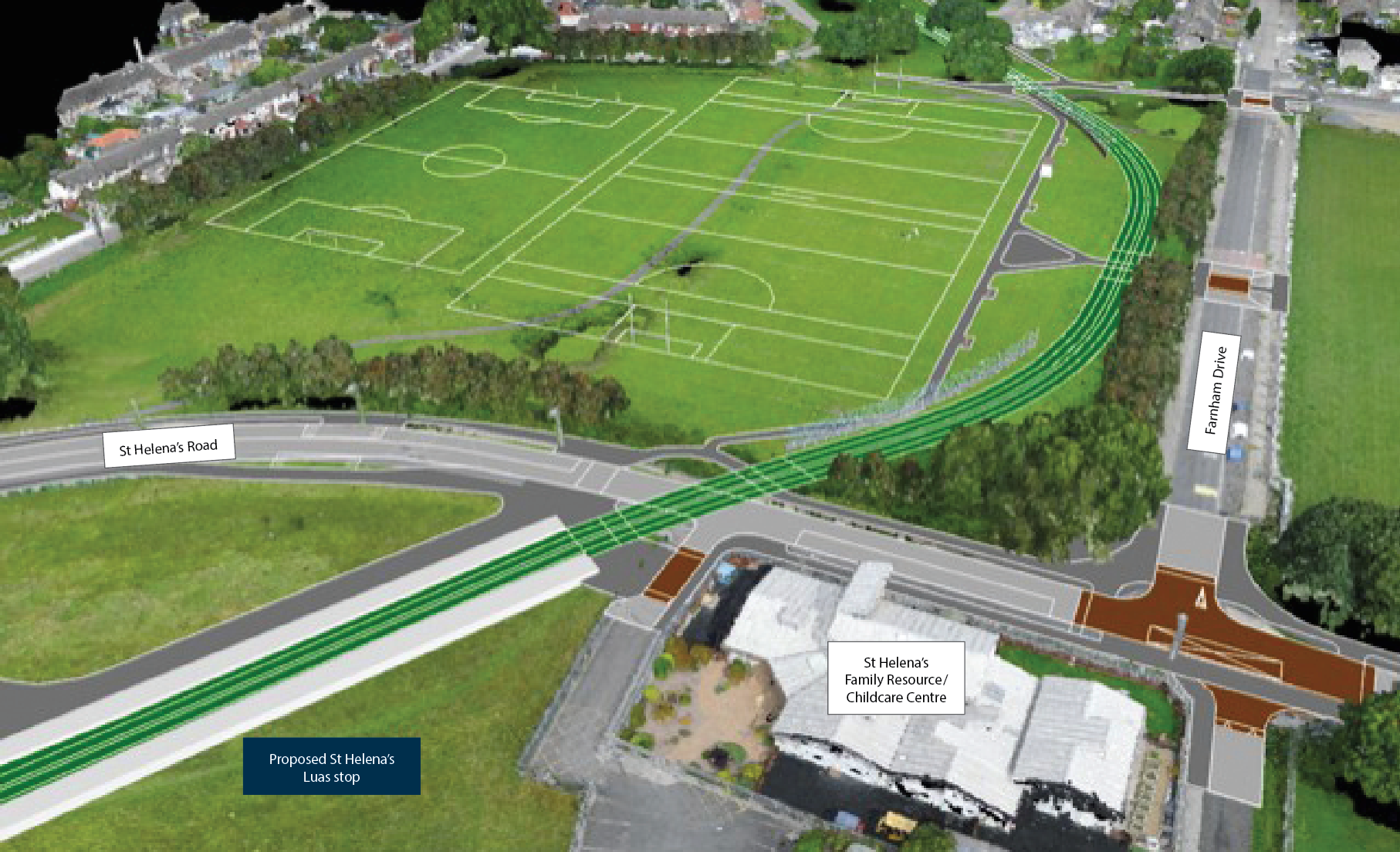
In response to feedback, this stop has been moved from the original site proposed in the EPR. It has been relocated slightly north closer to St Helena’s Road to improve accessibility and interchange with bus routes.
The alignment has also been slightly shifted to preserve trees and improve the pedestrian facilities.
As the stop has been moved north and is directly accessible from St Helena’s Road, it is no longer necessary to provide direct access from the Carrigallen and Gortmore estates.
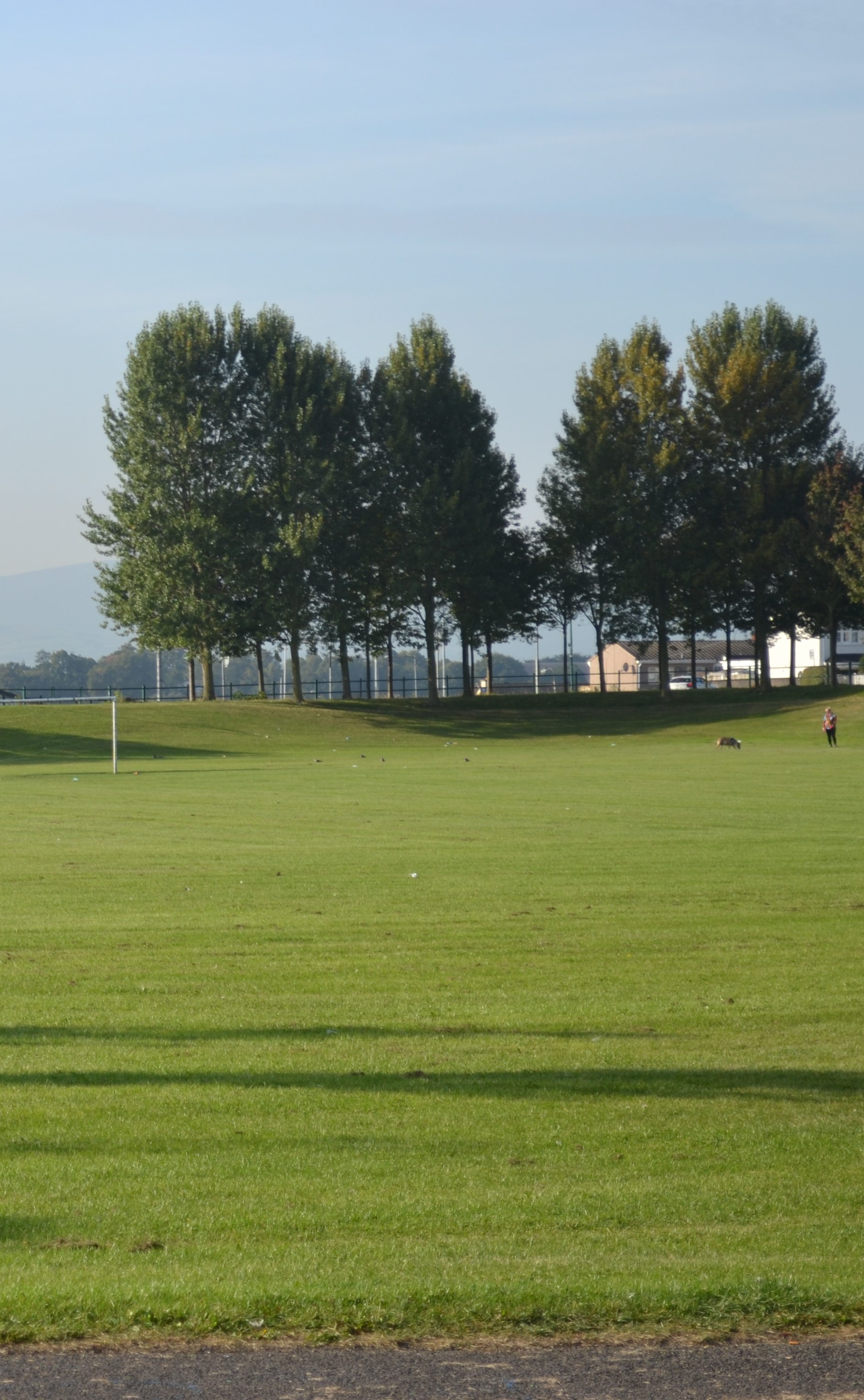 Farnham Park Pitches
As the line continues north, the alignment has been shifted to the east of the original EPR proposal to avoid bisecting the Farnham Park playing pitches. This will reduce environmental and visual impacts while enhancing Luas operational safety. This also allows more space for the Rivermount and Erin’s Isle pitches.
By doing so, the line has been shifted away from Dunsink Road by approximately 60m and from Casement Road by approximately 20m, as suggested by the local residents.
The alignment has also been adjusted so that when it crosses Wellmount Road, it preserves trees that had been impacted by the EPR.
Moving further north, the proposed track has been shifted slightly and the road alignment altered along Patrickswell Place, so that both Patrickswell Court and Wellmount Parade can retain their road access from Patrickswell Place (as is today) without having to cross the Luas tracks.

 “Let the life flow through” Elizabeth McLaughlin
The Preferred Route for Luas Finglas changes from the Emerging Preferred Route as it enters Finglas village, to ensure the Finglas Village stop design integrates with proposals in the local area plan.
Under the EPR proposal, the line crossed Cappagh Road, turned east and then north towards Finglas Village passing through Mellowes Crescent.
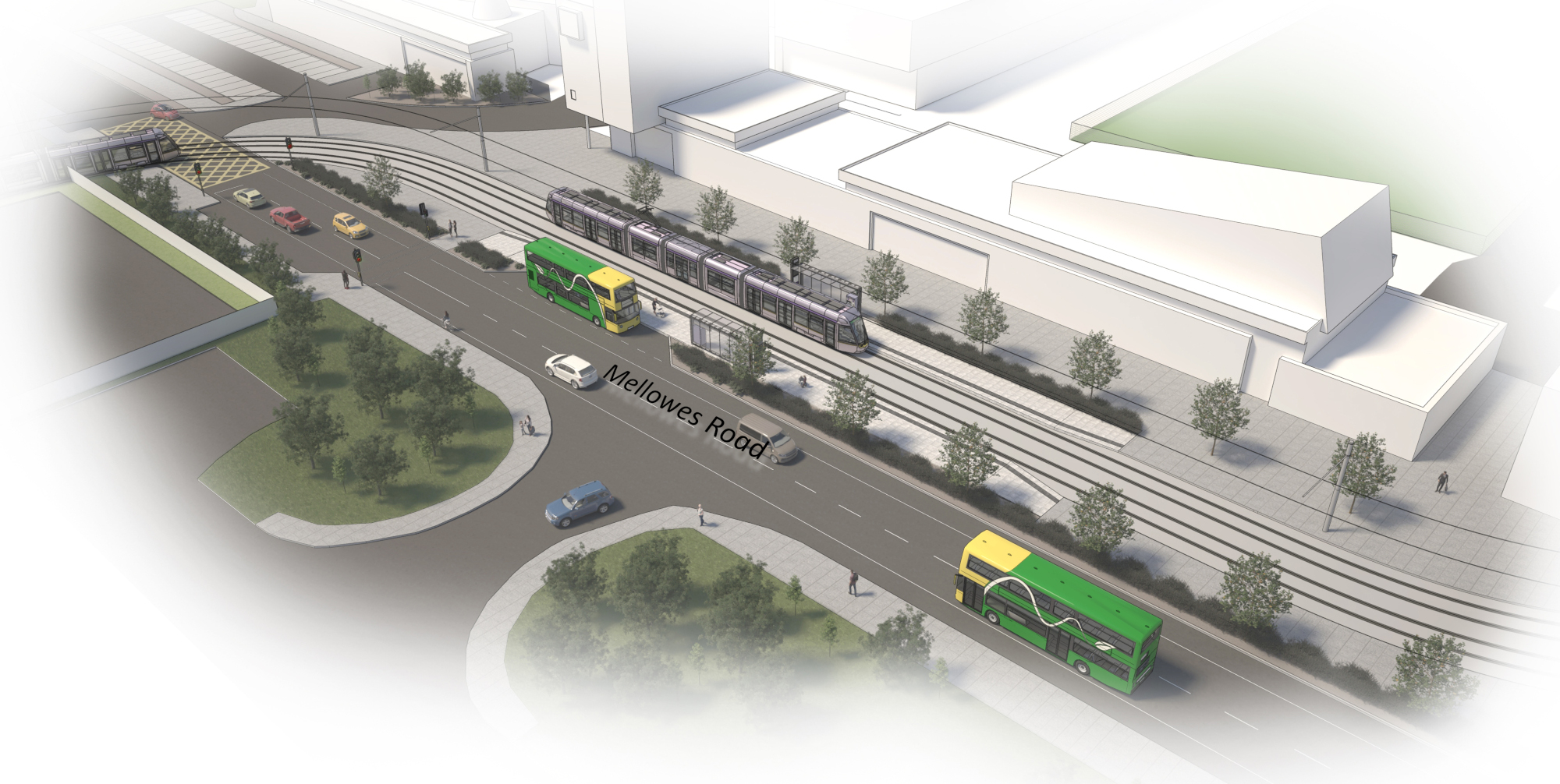
The Preferred Route will continue straight along Cardiff Castle Road, passing through a new corridor created within the Garda Station car park, making its eastern turn onto Mellowes Road. The stop will be located here, aligned east/west rather than the previous north/south proposal.
The Garda Station car park, access gates and fences will be reconfigured.
The Preferred Route proposal will require land-take from Raven’s Court. We have meticulously optimised the design to minimise the impact on the properties and common area. The access and boundary walls of Raven’s Court will be modified, and the design will be sensitive to the needs of the residents. The estate will maintain its cul-de-sac aspect. We will liaise closely with affected property owners throughout the design process.
We have been working closely with Dublin City Council in designing the public realm proposals around the Finglas village stop to align with the local area plan. The newly positioned stop will be more open and accessible than the EPR, with visual links - as well as walking and cycling links - back towards Finglas village east. It will also enable more direct interchange with bus services along Mellowes Road.
One of the two electric sub-stations to power the line, will be located between the Fire Station and the pumping station within the DCC park maintenance area.
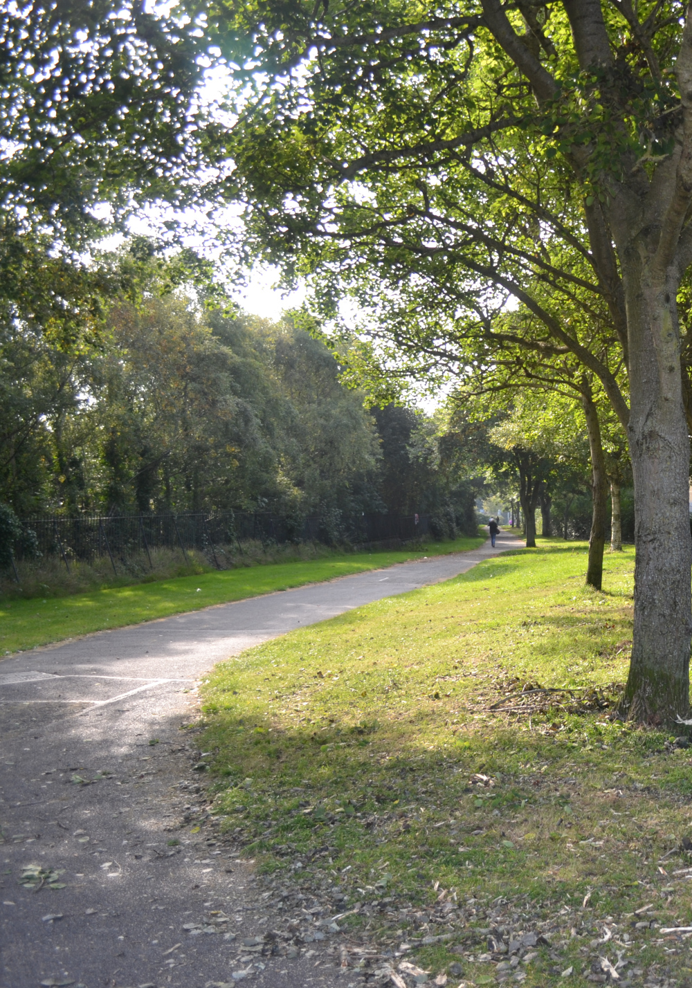 Mellowes Park
The route proceeds north along the EPR alignment through Mellowes Park in grass track with a pedestrian path running alongside its boundary.
We propose to move the stop from its original location in Mellowes Park onto St Margaret’s Road, to the other side of Finglas Road, opposite the Lidl supermarket. This moves it closer to the newly rezoned Jamestown Industrial Estate, providing improved accessibility to existing and future residential and commercial development. This also addresses concerns raised by residents facing Mellowes Park and significantly reduces the impact on the park itself.
For this reason, we have changed the name of this stop from Mellowes Park to St Margaret’s Road.
Moving the stop to this location also offers a better interchange with the newly proposed Park and Ride at the Lidl site, creating a modern transport interchange for Luas, bus and bicycle users.
It is proposed to replace the existing roundabout and pedestrian overbridge on Finglas Road (R135) with a signal-controlled junction. This will facilitate Luas crossing the junction and improve pedestrian access across Finglas Road (R135), and to/from the Luas stop, while also facilitating cyclists.
The second electric sub-station for Luas Finglas will be located behind the St Margaret’s Road Stop in the landlocked area between McKee Avenue and the North Road.
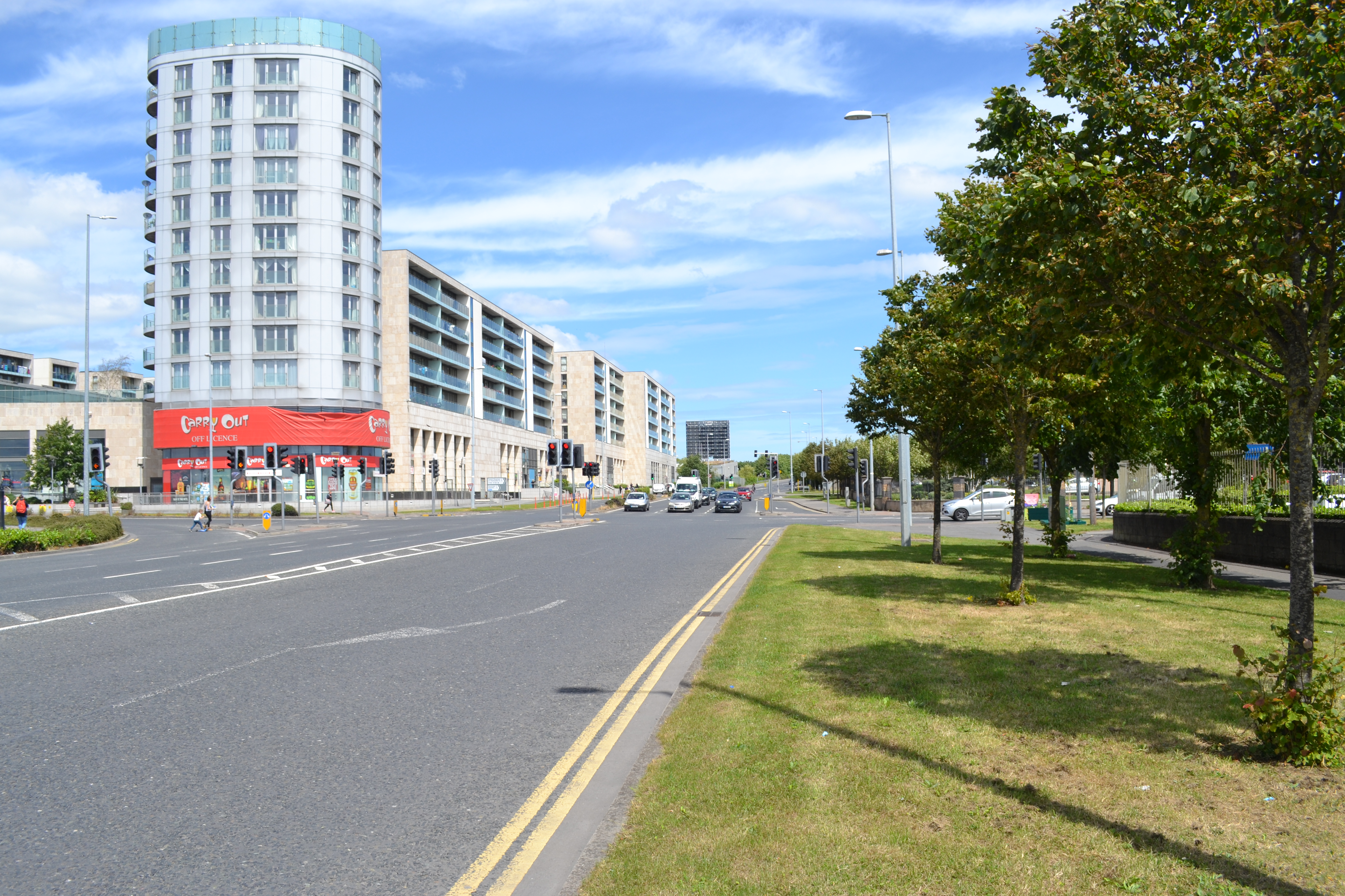
The route to Charlestown is similar to the earlier proposal under the EPR. It will continue from the Finglas Road (R135) junction along the eastern side of St Margaret’s Road, mainly off-road or segregated from the traffic in grass track until it reaches the terminus stop at Charlestown.
On-street cycle facilities will be provided on both sides of St Margaret’s Road. This stop provides convenient access to the Charlestown Shopping Centre, high-density residential areas and the Jamestown Industrial Estate.

Under the EPR a site for the Park and Ride was proposed at Charlestown. We have since worked with landowners, the NTA and local authorities on a new proposal. It has been agreed to investigate plans for a combined redevelopment of the commercial corner between the North Road and St Margaret’s Road, currently occupied by the Lidl supermarket. It is proposed to redevelop the site to incorporate a multi-storey Park and Ride over a renovated and extended supermarket into one single, combined development, subject to further design and traffic analysis. This new Park and Ride will be served by the relocated stop at St Margaret’s Road and would have direct road access from the North Road (for traffic coming from the M50) and from St Margaret’s Road, via McKee Avenue junction.

We are eager to leverage any opportunity to improve cycling and walking facilities.
The National Transport Authority (NTA) draft Cycle Network Plan 2022 for the Greater Dublin Area is here
The proposals for Luas Finglas cycling facilities will align, complement and deliver on sections of this plan.
We are also collaborating closely with Dublin City Council, Fingal County Council and cycling groups to ensure consistency, continuity and coherency amongst all relevant bodies.
We will provide bike parking at stops and keep accessibility to the forefront of all public realm plans.
 Old Bridge Tolka Valley Park
Two new bridges are required; one at Broombridge over the railway and Royal Canal, and another over the Tolka river in the Tolka Valley Park. We are working with Dublin City Council, Irish Rail and Waterways Ireland to ensure the bridge designs will not impact on the operations or accessibility of existing services or amenities.
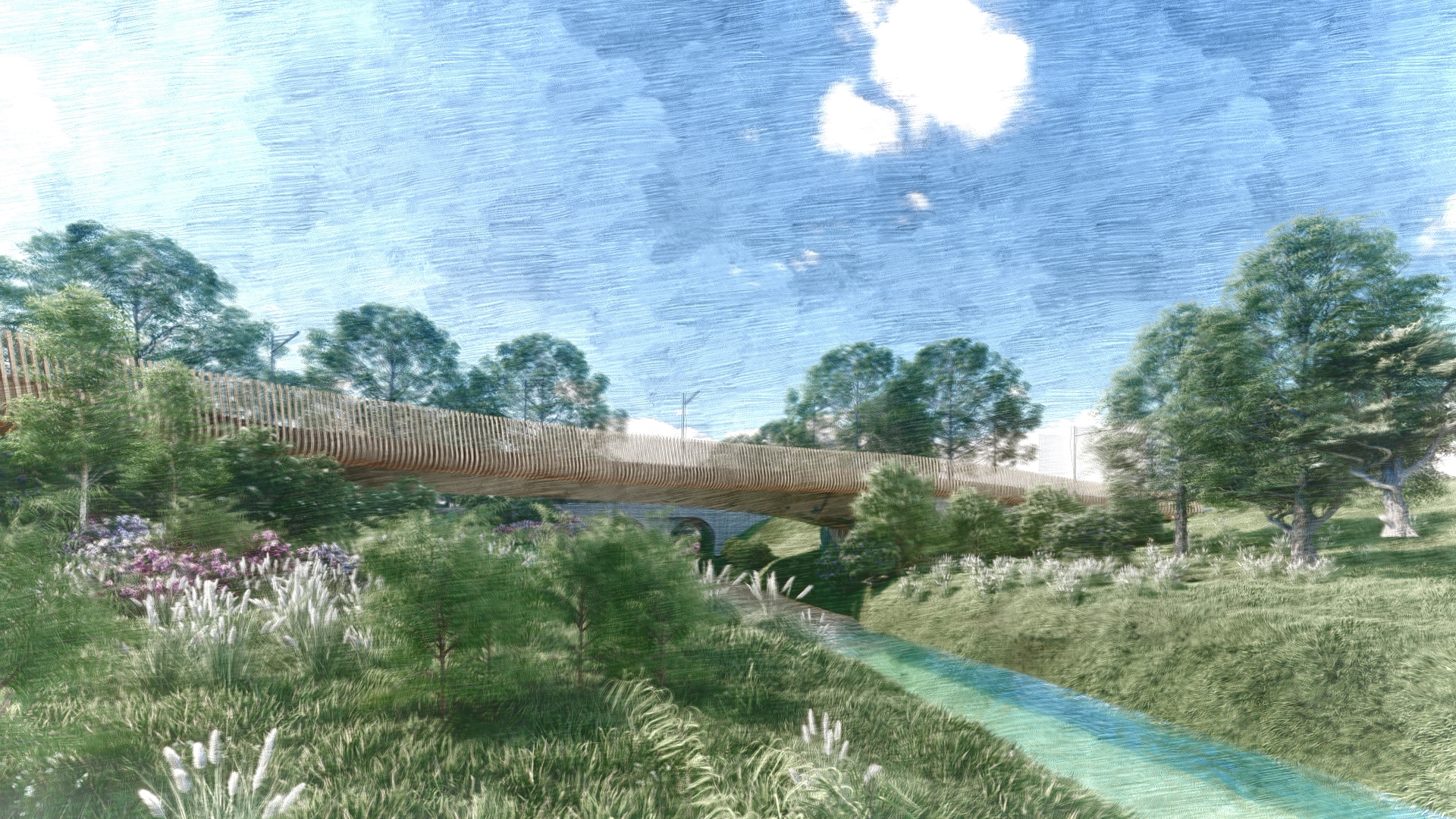 Indicative view of new bridge Tolka Valley Park
Consultation
At TII, we are strongly committed to involving local communities in the design of proposed infrastructure.
A non-statutory consultation for the Luas Finglas Emerging Preferred Route took place from Tuesday 28th July to Thursday 17th September 2020. You can read the report about the consultation here.
A second non-statutory public consultation, on a Preferred Route, was completed on Monday 31st January 2022. A report on this consultation is available here.Compulsory Purchase Order
If Transport Infrastructure Ireland (TII) is granted a Railway Order (planning permission) for Luas Finglas, it may initiate the compulsory acquisition process. There are a number of public and privately owned properties impacted that may require acquisition in whole or in part.
TII is already in touch with known affected property owners and we will keep in close contact with them throughout the process.
If you would like to learn more about the process read our guide to CPO here.
You can read TII's Land Acquisition Strategy here
Downloads
Contact Us
Email: info@luasfinglas.ie
Freephone 1800 666 888
Our phone line is open 24 hours a day for your messages and we’ll aim to return your call between 9:30am and 5pm the next working day.
Post
Luas Finglas, Transport Infrastructure Ireland
Parkgate Business Centre
Parkgate Street
D08DK10
Freepost: FDN7406
TRANSPORT INFRASTRUCTURE IRELAND
Transport Infrastructure Ireland’s mission is to deliver transport infrastructure and services, which contribute to the quality of life for the people of Ireland and support the country’s economic growth.

PROJECT IRELAND 2040
Project Ireland 2040 is the overarching government plan that sets out national goals to fund and develop the infrastructure Ireland needs, improving environmental sustainability and building a fairer and more equal Ireland for everyone.
NATIONAL TRANSPORT AUTHORITY
The National Transport Authority is the transport authority for Greater Dublin and the public transport licensing agency for Ireland. NTA’s vision is to provide high quality, accessible, sustainable transport, connecting people across Ireland.